Humanitarian Surveillance
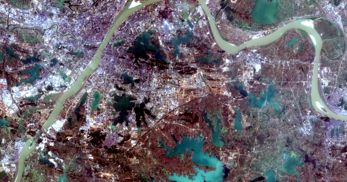
In order to better coordinate aid and relief for coronavirus outbreaks in poorer nations, a scientist is training machine learning algorithms with phone data and satellite imagery.
Ultimately, the goal is to identify the people who are in greater need by their phone activity and by spotting signs of economic turmoil or local COVID-19 outbreaks, University of California Berkeley data scientist Joshua Blumenstock said in a press release. That way, boots-on-the-ground humanitarian workers can better prioritize their efforts.
Filling Cracks
While Blumenstock and colleagues from Berkeley are working with the governments of nations including Togo and Bangladesh to help coordinate their coronavirus relief, it’s worth noting that the initiative could potentially subject people in those countries to unsettling levels of surveillance. But Blumenstock says his goal is a noble one: by supplementing government efforts with satellite data and phone surveys, he hopes to identify people hit by the coronavirus with greater accuracy than before.
“In Togo, they have an existing social protection program that’s based on traditional government registry data,” Blumenstock said in the release. “It’s a very impressive program, but they’re worried that maybe there are people slipping through the cracks. And so, they say: ‘Can the satellite data and the phone data help us identify those people?'”
Supplementary Information
But, Blumenthal added, technological solutions aren’t a silver bullet: scientists can’t just train an algorithm, take satellite images, and consider the problem solved.
“The new machine learning models are only as good as the data that are used to train them,” Blumenstock said in the release. “They’re not meant to replace traditional forms of measurement, like survey-based data collection, but rather to complement them.”
READ MORE: Satellite images, phone data help guide pandemic aid in at-risk developing countries [University of California Berkeley]
More on satellites: This Is What China’s Coronavirus Lockdowns Look Like From Space