
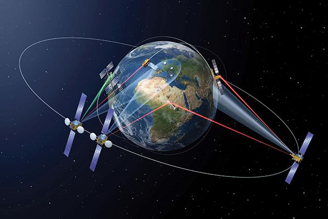
- Images of Earth were sent from the European Space Agency’s Sentinel-1A satellite, orbiting about 700km above the Earth, via Inmarsat’s geostationary satellite Alphasat in the distance of about 36,000km away from the Earth’s surface
- The experiment demonstrated the viability of the planned €450m space data highway that will link low Earth orbiting satellites with ground-based control centres via powerful laser links delivered through geostationary satellites, which hang above a fixed spot on Earth
- The use of geostationary satellites will remove the need to wait, allowing the controllers to view the images nearly instantaneously