
Open LIDAR portal
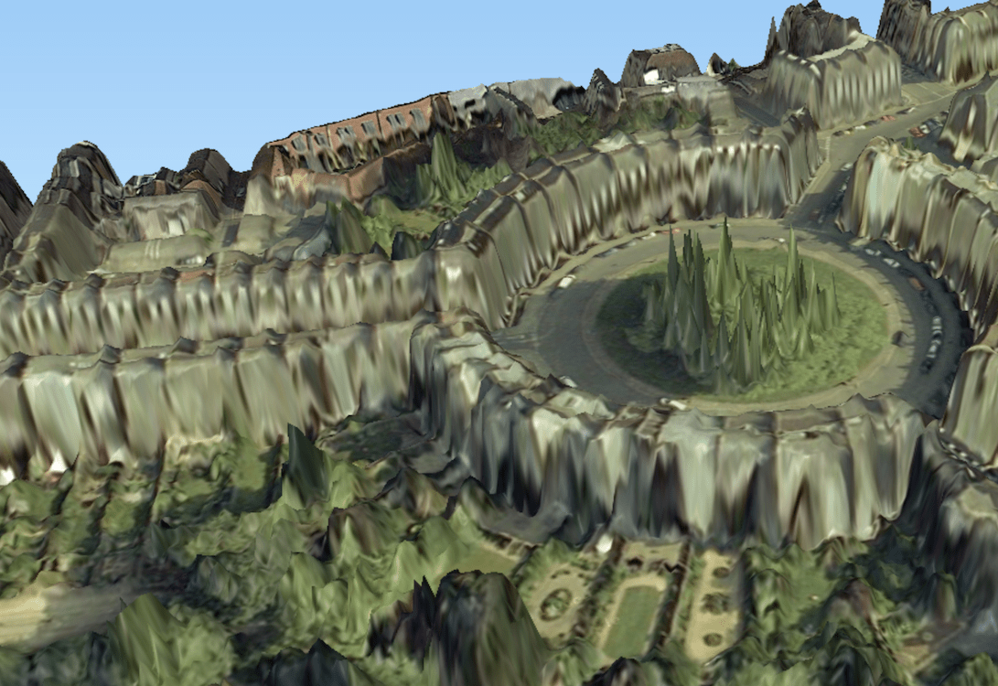
Just recently, all 11TB worth of the UK Environment Agency’s Light Detection and Ranging (LIDAR) data were made publicly available through the new Open LIDAR portal. With its Open Government License, anyone can use the rich data for any purpose. The organization believes that possibilities are endless with the huge amount of data, and they hope that this will be the catalyst for innovative ideas – may it be for virtual reality gaming or forest management. EA has already used this data for flood modeling and tracking changing coastal habitats for the past 17 years before they decided to release it to the public. The data can be accessed for free.
Future Plans
The Environment Agency has been working hard behind the scenes to make the data available in the shortest time possible, but due to the enormous amount of data (11 TB), they have had to roll it out in stages. The composite LIDAR data from the past 17 years have already been released, and the Tiled LIDAR that offers snapshots of locations at specific times will soon follow. EA mentions that this will also be followed by varied data formats in the coming months, as well as the ability to access the information on the cloud.